 vesseltracker.com
Find the position of the vessel BOMUSTAFA O on the map. The latter are known coordinates and path.
marine traffic ship tracker show on live map
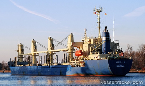
The current position of vessel BOMUSTAFA O is 22.78961 lat / 69.98235 lng. Updated: 2025-10-30 16:29:32 UTCCurrently sailing under the flag of Panama
BOMUSTAFA O built in 1995 year
Deadweight:
24173 tDetails:
Last coordinates of the vessel:
UTC, 22.78939, 69.98247, course: 87, speed: 0.2UTC, 22.78923, 69.98245, course: 77, speed: 0.4
UTC, 22.78950, 69.98248, course: 95, speed: 0.5
2025-10-30 16:29:32 UTC, 22.78961, 69.98235, course: 88, speed: 0.1
Track of the vessel in the last 14 days
The ship also appears on the maps: